HISURF- Very high resolution imaging for detailed surface mapping in ice-free areas of Maritime Antarctica
About
Completed
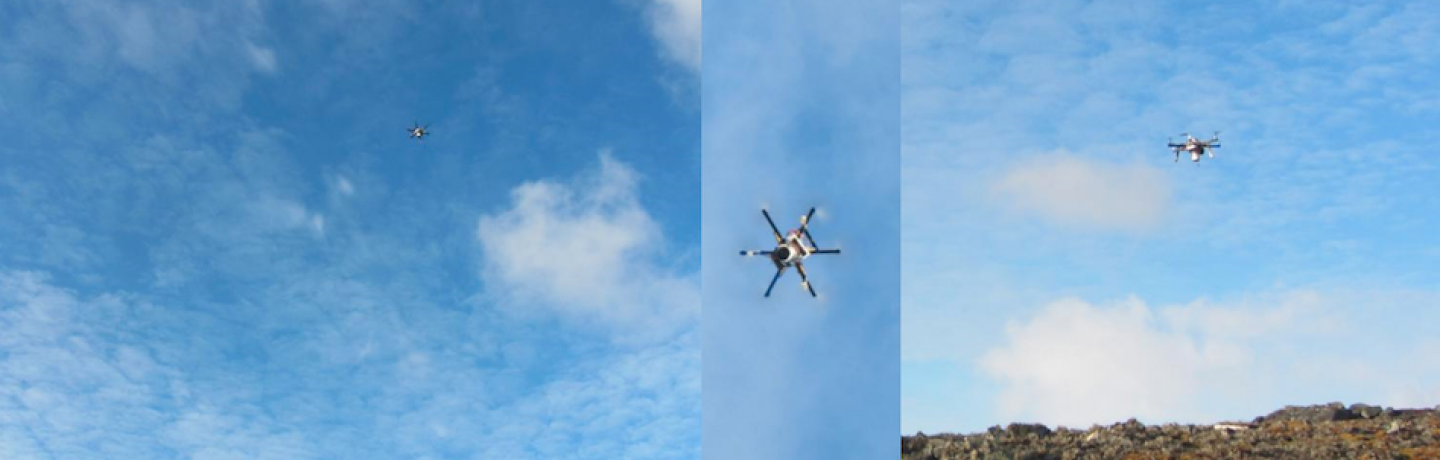
| This project aimed at the elaboration of high resolution mapping of ice-free surfaces in Antartica (namely in King George Island). The level of detail of this cartography is fundamental to better evaluate the evolution of the landscape in one of the regions of the Earth where the climate changes are evolving faster, using remotely sensed imagery of very high resolution with own platforms and sensors in order to overcome the frequent atmospheric drawbacks and permit its swift acquisition in the narrow windows of opportunity. |
Keywords
Environment
Remote Sensing
Start Date
CERENA Role
Coordinator
Coordinator/Local PI

Former Member
iFCT
CERENA Team
Proponent Institution
CERENA, Portugal
Partners
IGOT - Instituto de Geografia e Ordenamento do Território, Universidade de Lisboa
Universidade de Vigo, Spain
INACH - Instituto Antártico Chileno, Chile
KOPRI - Korean Polar Research Institute, South Korea
Spanish Polar Program, Spain
PROANTAR - Programa Antártico Brasileiro, Brazil
Funding Programme
PROPOLAR 2012/2013; PROPOLAR 2013/2014; PROPOLAR 2014/2015
Total Funding
102 000,00 €
CERENA Funding
102 000,00 €